

Oct 04, 2017:
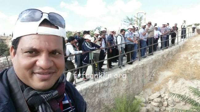
1. ROMAN THEATRE, AMMAN, Jordan:
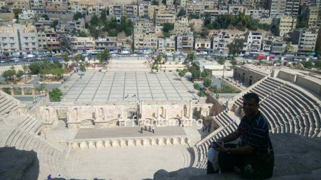
Amman's Roman Theatre is a 6,000-seat, 2nd-century Roman theatre. A famous landmark in the Jordanian capital, it dates back to the Roman period when the city was known as Philadelphia. The theatre and the nearby Odeon are flanking the new Hashemite Plaza from the south and the east respectively, while the Roman Nymphaeum is just a short stroll away in south-westerly direction.
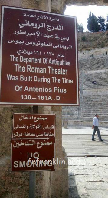
The theatre was built during the reign of Antonius Pius (138-161 CE). The large and steeply raked structure could seat about 6,000 people: built into the hillside, it was oriented north to keep the sun off the spectators.
It was divided into three horizontal sections. Side entrances existed at ground level, one leading to the orchestra and the other to the stage. Rooms behind these entrances now house the Jordan Museum of Popular Tradition on the one side, and the Jordan Folklore Museum on the other side.
The highest section of seats in a theatre, known in British English as "the gods", even though far from the stage, offer here excellent sightlines, while the actors can be clearly heard, owing to the steepness of the cavea.
The theatre is now used as a venue for cultural activities including the Amman International Book Fair, the Amman Marathon prize ceremony, and musical concerts, most notably the Al-Balad Music
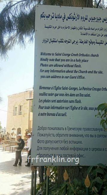
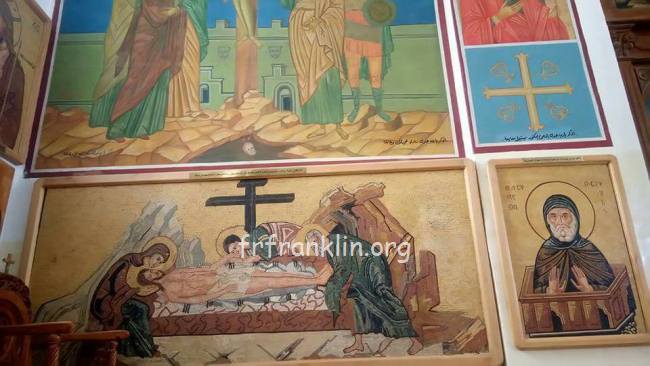
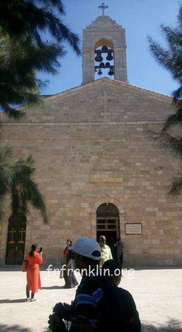
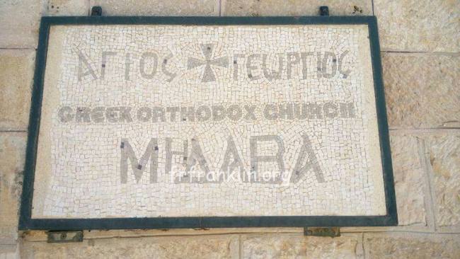
2. St Georege Church Madaba, Jordan:
The Madaba Mosaic Map depicts Jerusalem with the Nea Church, which was dedicated on the 20th of November, AD 542. Buildings erected in Jerusalem after 570. The mosaic was made by unknown artists, probably for the Christian community of Madaba, which was the seat of a bishop at that time. In 614, Madaba was conquered by the Persian empire. In the 8th century AD, the Muslim Umayyad rulers had some figural motifs removed from the mosaic. In 746, Madaba was largely destroyed by an earthquake and subsequently abandoned. The mosaic was rediscovered in 1884, during the construction of a new Greek Orthodox church on the site of its ancient predecessor. In the following decades, large portions of the mosaic map were damaged by fires, activities in the new church and by the effects of moisture.

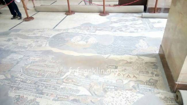
The floor mosaic is located in the apse of the church of Saint George at Madaba. It is not oriented northwards, like modern maps, but faces east towards the altar in such a fashion that the position of places on the map coincides with the actual compass directions. Originally, it measured 21 by 7 m and contained over two million tesserae. Its current dimensions are 16 by 5 m.
Topographic representation Edit
The mosaic map depicts an area from Lebanon in the north to the Nile Delta in the south, and from the Mediterranean Sea in the west to the Eastern Desert. Among other features, it depicts the Dead Sea with two fishing boats, a variety of bridges linking the banks of the Jordan, fish swimming in the river and receding from the Dead Sea; a lion (rendered nearly unrecognisable by the insertion of random tesserae during a period of iconoclasm) hunting a gazelle in the Moab desert, palm-ringed Jericho, Bethlehem and other biblical-Christian sites. The map may partially have served to facilitate pilgrims' orientation in the Holy Land. All landscape units are labelled with explanations in Greek. A combination of folding perspective and aerial view depicts about 150 towns and villages, all of them labelled.

The largest and most detailed element of the topographic depiction is Jerusalem, at the centre of the map. The mosaic clearly shows a number of significant structures in the Old City of Jerusalem: the Damascus Gate, the Lions' Gate, the Golden Gate, the Zion Gate, the Church of the Holy Sepulchre, the New Church of the Theotokos, the Tower of David and the Cardo Maximus. The recognisable depiction of the urban topography makes the mosaic a key source on Byzantine Jerusalem. Also unique are the detailed depictions of cities such as Neapolis, Askalon, Gaza, Pelusium and Charachmoba, all of them nearly detailed enough to be described as street maps.
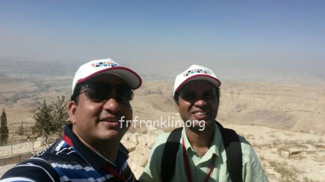
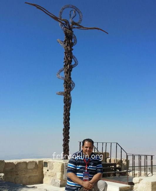
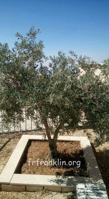
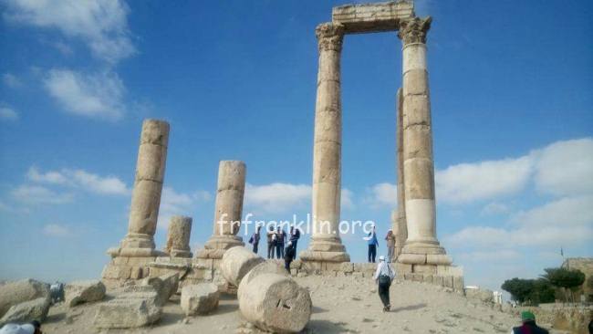
3. Mount Nebo is an elevated ridge in Jordan, approximately 817 metres (2,680 ft) above sea level, mentioned in the Hebrew Bible as the place where Moses was granted a view of the Promised Land. The view from the summit provides a panorama of the Holy Land and, to the north, a more limited one of the valley of the River Jordan. The West Bank city of Jericho is usually visible from the summit, as is Jerusalem on a very clear day.


Comments powered by CComment